#ज्योतिष_विज्ञान #मंत्र_विज्ञान
ज्योतिषाचार्य अक्सर ग्रहों के दुष्प्रभाव के समाधान के लिए मंत्र जप, अनुष्ठान इत्यादि बताते हैं।
व्यक्ति के जन्म के समय ग्रहों की स्थिति ही उसकी कुंडली बन जाती है जैसे कि फ़ोटो खींच लिया हो और एडिट करना सम्भव नही है। इसे ही "लग्न" कुंडली कहते हैं।
लग्न के समय ग्रहों की इस स्थिति से ही जीवन भर आपको किस ग्रह की ऊर्जा कैसे प्रभावित करेगी का निर्धारिण होता है। साथ साथ दशाएँ, गोचर इत्यादि चलते हैं पर लग्न कुंडली का रोल सबसे महत्वपूर्ण है।
पृथ्वी से अरबों खरबों दूर ये ग्रह अपनी ऊर्जा से पृथ्वी/व्यक्ति को प्रभावित करते हैं जैसे हमारे सबसे निकट ग्रह चंद्रमा जोकि जल का कारक है पृथ्वी और शरीर के जलतत्व पर पूर्ण प्रभाव रखता है।
पूर्णिमा में उछाल मारता समुद्र का जल इसकी ऊर्जा के प्रभाव को दिखाता है।
अमावस्या में ऊर्जा का स्तर कम होने पर वही समुद्र शांत होकर पीछे चला जाता है। जिसे ज्वार-भाटा कहते हैं। इसी तरह अन्य ग्रहों की ऊर्जा के प्रभाव होते हैं जिन्हें यहां समझाना संभव नहीं।
चंद्रमा की ये ऊर्जा शरीर को (अगर खराब है) water retention, बैचेनी, नींद न आना आदि लक्षण दिखाती है
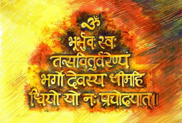
मंत्र क्या हैं-
मंत्र इन ऊर्जाओं के सटीक प्रयोग करने के पासवर्ड हैं। जिनके जप से संबंधित ग्रह की ऊर्जा को जातक की ऊर्जा से कनेक्ट करके उन ग्रहों के दुष्प्रभाव को कम किया और शुभ प्रभाव को बढ़ाया जाता है।